


How Do AI and Drone Technology Help Forestry Work?

How can drone technology and AI be used in the forest?
Drone technology covers both collecting data with drones and processing the resulting images with GIS tools. AI comes in when the data is analysed: it can help recognise tree species automatically, identify individual trees and pinpoint where they are.
The process can be broken down into three main steps: data collection, data processing and interpretation. Each plays a different role, and it's important not to mix them up. AI, for example, doesn't collect any field data – it first needs good-quality imagery to work with.
1. Data collection – getting the right information about the forest
In the first stage, the drone captures images of the forest area in question. The drone's camera or other sensor records information from the forest surface and tags each image with its position. GPS and georeferencing data then make it possible to place an object recognised in an image back in its real location on the ground.
2. Data processing – turning images into consistent spatial data
Surveying a larger forest area can involve thousands of partly overlapping drone images. These are processed using GIS and photogrammetry techniques to produce a single, spatially consistent dataset.
Processing can produce several kinds of data:
- Orthophoto or orthomosaic: a geometrically corrected, map-like aerial image on which you can examine the position and extent of objects.
- Point cloud: a 3D dataset made up of points in space, giving information on things like the structure of the vegetation and the ground surface.
- Surface or elevation model: a spatial model showing the heights of the terrain and the vegetation.
The right processing method depends on the forestry task. In MainForest's tree of heaven surveys, for example, we use high-resolution orthophotos that show the species' characteristic leaf arrangement and crown texture.
3. Interpretation – where AI comes in
AI's role is to analyse the processed imagery. The system can automatically recognise and separate out the patterns it's looking for across large volumes of image data – for example, the characteristic crown, leaf structure or other visible features of a given tree species.
MainForest's in-house processing and species recognition system is built on imagery collected in Hungarian forests and on our own training datasets. For tree of heaven, for example, leaf morphology, leaf arrangement and crown structure provide visual cues that let the model tell individual trees apart from the surrounding species.
Using segmentation, the system can recognise not only whether a given species is present in an image but also mark exactly where it is. This makes it possible to produce, for example, georeferenced tree locations, point layers, crown outlines, and species distribution or density maps.
AI can therefore greatly speed up processing large volumes of imagery, but the results still need to be checked by an expert.
Which sensors can be used to collect data?
The right sensor isn't the most advanced one – it's the one that fits the forestry question you're trying to answer.
- RGB camera: takes high-resolution images in the visible spectrum, suitable for examining things like morphological features, the canopy, foliage or spatial patterns.
- Multispectral camera: also collects information outside the visible range, so certain differences in vegetation and signs of stress can be examined.
- Thermal camera: provides information on the heat radiated by surfaces, so it can be useful for specialised monitoring or condition assessment.
- LiDAR: uses laser ranging to create a 3D point cloud, which is especially valuable for examining the forest's spatial structure and heights.
So drone technology isn't a single tool but a data processing chain: the drone and sensor collect the information, photogrammetry and GIS processing turn the images into spatially meaningful data, and AI can help recognise and separate out the patterns you're looking for. Only then does the result become decision-support information a forester can actually use.
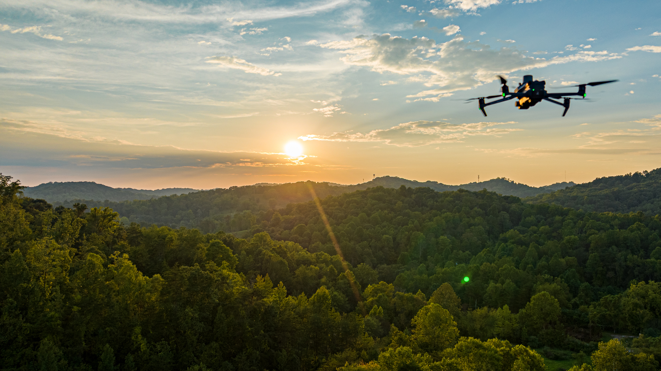
Which forestry tasks can drones and AI help with?
Drone technology and AI can be used in many areas of forest management, from surveying stands to planning the necessary interventions. Detailed spatial data and automated image analysis help professionals identify problem areas faster and define the work to be done more precisely. The main uses are:
- Detecting invasive plant species and planning control: In large forest areas that are hard to reach, drones and AI make it faster to identify invasive species such as tree of heaven or black locust. Maps made from the imagery can show exactly where the plants are, how they are distributed and how dense they are, making it easier to decide where intervention is needed.
- Mapping stand structure: A drone survey can give detailed information on where trees are, how dense they are, the size of their crowns and the spatial structure of the stand. This data can help, for example, to assess young oak stands, mark out areas that need tending, or plan the conversion of a stand.
- Targeted checks on forest damage and hazardous trees: Drone imagery can reveal visible signs of dieback, crown thinning, storm damage and other stand decline, even over large areas. AI can help flag problem areas and individual trees, so professionals can carry out targeted checks where further investigation may be needed.
- Planning, documenting and checking forestry treatments: The exact coordinates of trees identified in the drone survey can be passed on to field crews, making it easier for them to find the trees to be treated. Interventions can be documented with GPS data, photos and timestamps, and later drone imagery makes it possible to check how effective the treatments were.
Drone, satellite or field survey – which is best for what?
Each of the three methods has its own job. They provide information at different scales and levels of detail, so in many cases a combination of them is the most useful solution.
| Method | Strengths | Limitations | Typical role |
|---|---|---|---|
| Field survey | Direct examination, expert interpretation | Slow and labour-intensive over large areas | Validation, detailed checks |
| Drone | High detail, flexible local surveys | Weather, flight and processing constraints | Local, high-resolution mapping |
| Satellite | Large areas, repeatable observation | Usually less spatial detail | Regional trends and change monitoring |
| Combination | Multiple scales and data sources together | More complex data processing | Long-term, accurate monitoring |
In a combined approach, satellite data can show where a closer look is worthwhile, the drone can pinpoint the location, and field work can verify the result.
How it works in practice: tree of heaven detection across 1,150 hectares
In summer 2026, MainForest surveyed tree of heaven across 1,150 hectares at 39 sites for Mecsekerdő Zrt. The project covered forest stands of different ages, species mixes and canopy closure, from small woodland patches to continuous areas of several hundred hectares.
We captured aerial images with drones at a resolution of 1.4–1.5 cm/pixel, which made the leaf arrangement and crown structure of tree of heaven visible. We processed the images with our in-house AI system, and our specialists then checked the detected shapes manually.
How did we check detection accuracy?
We assessed detection accuracy using the 5-metre rule: a tree counted as found if the identified tree location was no more than 5 metres from the field survey point.
The system achieved a shape-based detection accuracy of 98.25% and a point-based accuracy of 97.97%. In 21 of the 32 areas evaluated, the detection rate was 100%. We also identified 63 tree of heaven trees that the field survey had missed.
These accuracy figures refer to verified detections; they are not the detection rate for every tree of heaven actually present in the forest.
Spotting seed-bearing trees also helps target control
As well as locating tree of heaven, the system also helped identify trees of seed-bearing age. The dataset we delivered contained 826 seed-bearing markers across 558 separate patches. This information can help set treatment priorities and target efforts to stop the invasive species spreading.
Key results
- Area surveyed: 1,150 hectares at 39 sites
- Point-based detection accuracy: 97.97%
- Confirmed tree of heaven shapes: 3,545
- Tree locations delivered: 9,398
- Crown outline polygons: 5,451, covering about 4.68 hectares in total
The client received the results as GIS point layers, crown outline polygons and detailed reports. We also produced an interactive before/after comparison viewer and video documentation to support the planning of forestry work.
Technology doesn't do the work for us – but it makes it more efficient
Drone technology isn't an end in itself. Its value lies in speeding up the collection and organisation of the information a forestry professional needs to make responsible, careful, data-driven decisions.
If you'd like to keep field walks to a minimum and spend the time, money and energy you save on targeted interventions instead, choose MainForest's drone forest survey service!
Frequently asked questions about drone technology
What are drones used for in forestry?
Among other things, drones can be used to survey forest stands, identify tree species and individual trees, detect invasive plants, assess forest damage and plan treatments. High-resolution imagery can be turned into detailed maps that support targeted forestry work.
What is AI used for in forest surveys?
AI helps analyse drone imagery automatically, recognise tree species and individual trees, and determine where they are. MainForest's system, for example, not only detects tree of heaven but also helps pick out seed-bearing trees and set treatment priorities.
Can drones replace traditional field surveys?
Not entirely. A drone survey can greatly reduce the number of field walks needed and can even pick up trees that the on-site survey missed. But it doesn't replace expert checking or forestry decision-making.
How accurate is AI-based tree species recognition?
Accuracy depends on the tree species, image quality, stand structure and the method used for checking. In MainForest's 2026 tree of heaven project, shape-based detection accuracy was 98.25% using the 5-metre rule. This figure refers to verified detections, not the detection rate for all trees present.
Can trees under the canopy be detected too?
Partly hidden trees can sometimes be detected if their morphological features are visible in the imagery. However, there's no guarantee of identifying plants hidden under a completely closed canopy. Results also depend on how much is hidden and on the conditions when the images were taken.
What data does the forester get at the end of the survey?
Depending on the task, this can include an orthophoto, a georeferenced point layer, a crown outline map, a species distribution map and a summary report. In MainForest's 2026 project, we also delivered datasets ready for use in GIS systems, detailed reports and an interactive before/after comparison viewer.
Can the same drone method be used to recognise every tree species?
The data collection and processing workflow can be applied to several tree species, but reliable recognition needs species-specific training data and proper checking. The method works best for species whose visible morphological features set them apart from the surrounding vegetation.

 Phone number:
 Email:
 Address: